REAL TIME GEOSCIENCE VISUALIZATION SOFTWARE
Drill and Complete Better Wells with Unprecedented Subsurface Insights
Integrate top-tier geoscience data seamlessly into your Drilling and Completions workflows with Corva. Our platform unifies engineers, drillers, geoscientists and operations teams, providing a collaborative view of the subsurface to optimize your operations.
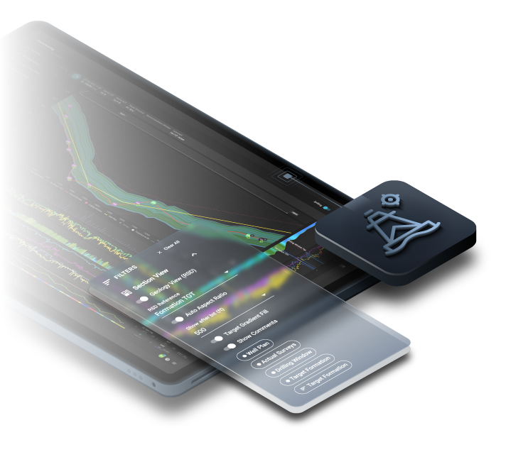
GeoDrilling
Set your team up for maximum success with subsurface drilling analytics and integrated geologic datasets to precisely guide the bit through the most productive zones, extend equipment life, and maximize production in the targeted drilling window.
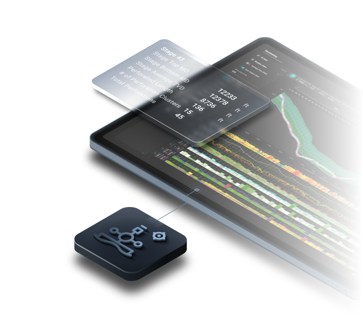
GeoCompletions
Maximize simulations effectiveness and production output, tailor stage design to actual rock conditions, and precisely place plugs and perforations with subsurface completions analytics and integrated geologic datasets.
A Digital Energy Framework at Your Fingertips
Built on a secure and scalable architectural foundation, Corva's Dev Center is a comprehensive digital energy framework empowering rapid creation of tailored solutions. Additionally, the Corva Platform incorporates Fusion to ensure seamless data ingestion and unparalleled transparency in data quality.
Develop Custom Apps with Corva Dev Center
Corva's Dev Center empowers developers and energy professionals to unleash creativity for crafting tailored solutions to unique operational challenges, and streamline app development from idea to deployment.
Explore Dev CenterExperience Infinite Data Quality
Fusion seamlessly integrates industry expertise and advanced technologies to improve data quality to the highest level for operational efficiency and continuous improvement.
Explore FusionExperience Corva for Yourself
Ready to see Corva in action or have questions? Request a demo and our team will guide you through the features and benefits of Corva GeoDrilling and GeoCompletions that will start you on the path to new levels of efficiency, safety, and performance.