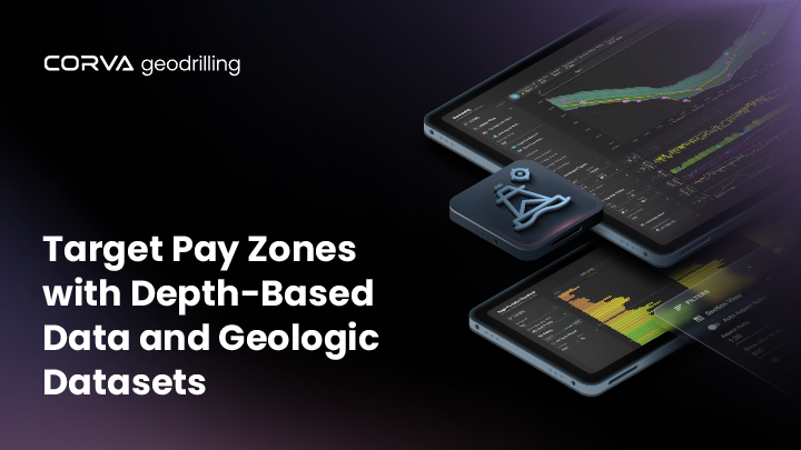
In today’s high-stakes drilling environment, precision and efficiency are non-negotiable. Corva’s GeoDrilling software is setting a new standard by bridging the gap between geoscience and drilling operations, empowering teams with real-time insights that drive smarter decisions, reduce costs, and maximize wellbore performance.
Breaking Down Silos with Unified Subsurface Insights
GeoDrilling unifies a wealth of subsurface data into a single, intuitive platform—bringing together depth-based data streams, offset well information, and historical logs. By integrating WITSML feeds, LWD, and wireline log data, teams can quickly adjust to changing formation conditions and make informed decisions on the fly. The result? Faster, more accurate ROP and reduced bit wear, keeping operations moving at peak performance.
Smarter Tools for Smarter Drilling
GeoDrilling offers a robust suite of tools designed to elevate both geological understanding and operational execution:
- Formation Evaluation: Customizable well log templates enable geoscientists and engineers to visualize and analyze geological and petrophysical data collaboratively in real time.
- Well Correlator: Easily compare offset wells using log data, casing points, and formation tops based on either measured depth or true vertical depth, enriching geological interpretation across your development area.
- Time to Targets: Automate time estimates to reach critical depth targets, helping drilling teams anticipate and respond to subsurface interactions ahead of time.
- Formation Metrics: Access over 40 performance metrics—from distance and ROP to slide ratios and percent in zone—to evaluate drilling effectiveness across formations with unparalleled granularity.
Elevating Geosteering Collaboration
GeoDrilling seamlessly integrates geosteering data directly into Corva’s real-time platform, enhancing both visualization and cross-functional collaboration. Teams can view and react to updates in steering targets instantly, aligning geoscience and engineering decisions in real time and improving well placement accuracy.
Target Formation Roadmap: Guiding the Way Forward
For directional drillers, GeoDrilling delivers a powerful roadmap that tracks critical performance indicators—like ROP, MSE, vibration, and footage in zone—ensuring the wellbore stays aligned with the most productive zones. This continuous feedback loop reduces risk, improves drilling efficiency, and enhances overall well outcomes.
Ready to Drill Smarter with Real-Time Subsurface Intelligence?
Schedule a demo to see how Corva’s GeoDrilling software can unify your teams, optimize geosteering, and elevate drilling performance from surface to TD.
Ready to Transform Your Operations?
Discover how Corva’s real-time insights and predictive intelligence are changing the game. See it in action and schedule your personalized demo today.
See Corva in Action


